Vgrid DGGS key features
-
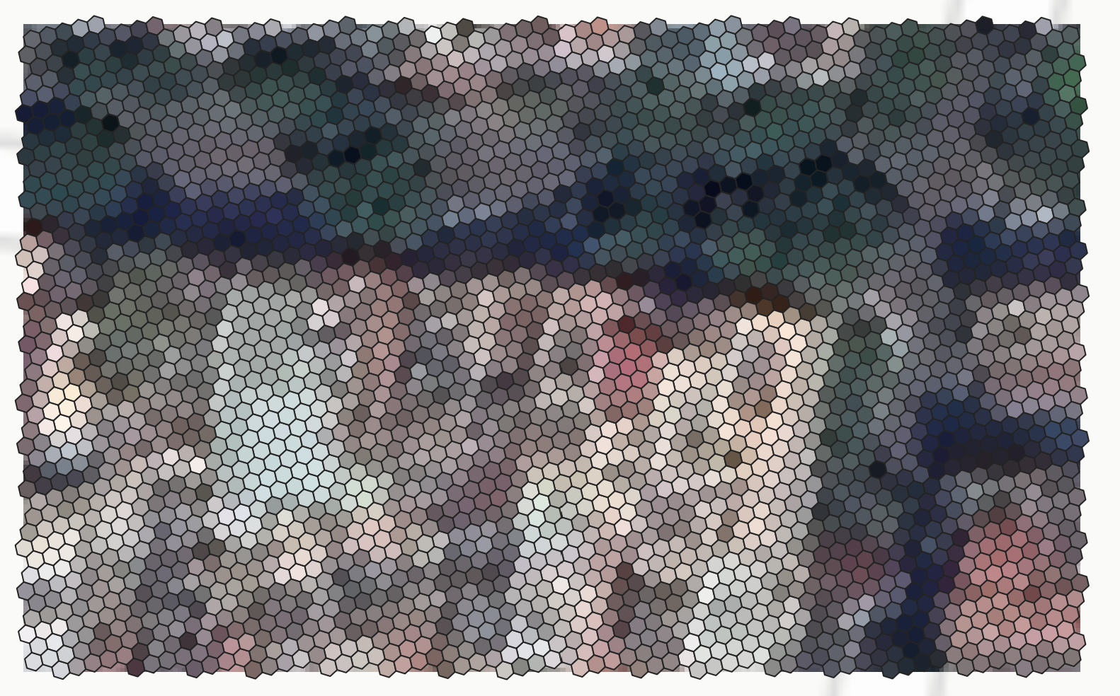
DGGS Conversion: Convert Latlon to DGGS, DGGS cells to Shapely Geometry/ GeoJSON, Vector to DGGS, Raster to DGGS.
-
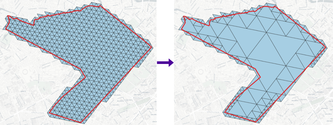
DGGS Compact: Compact DGGS cells or expand them to a specific resolution.
-
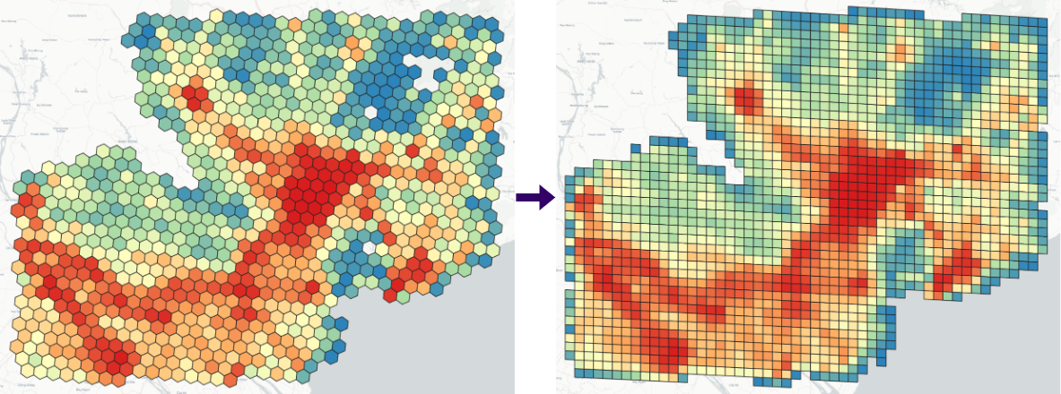
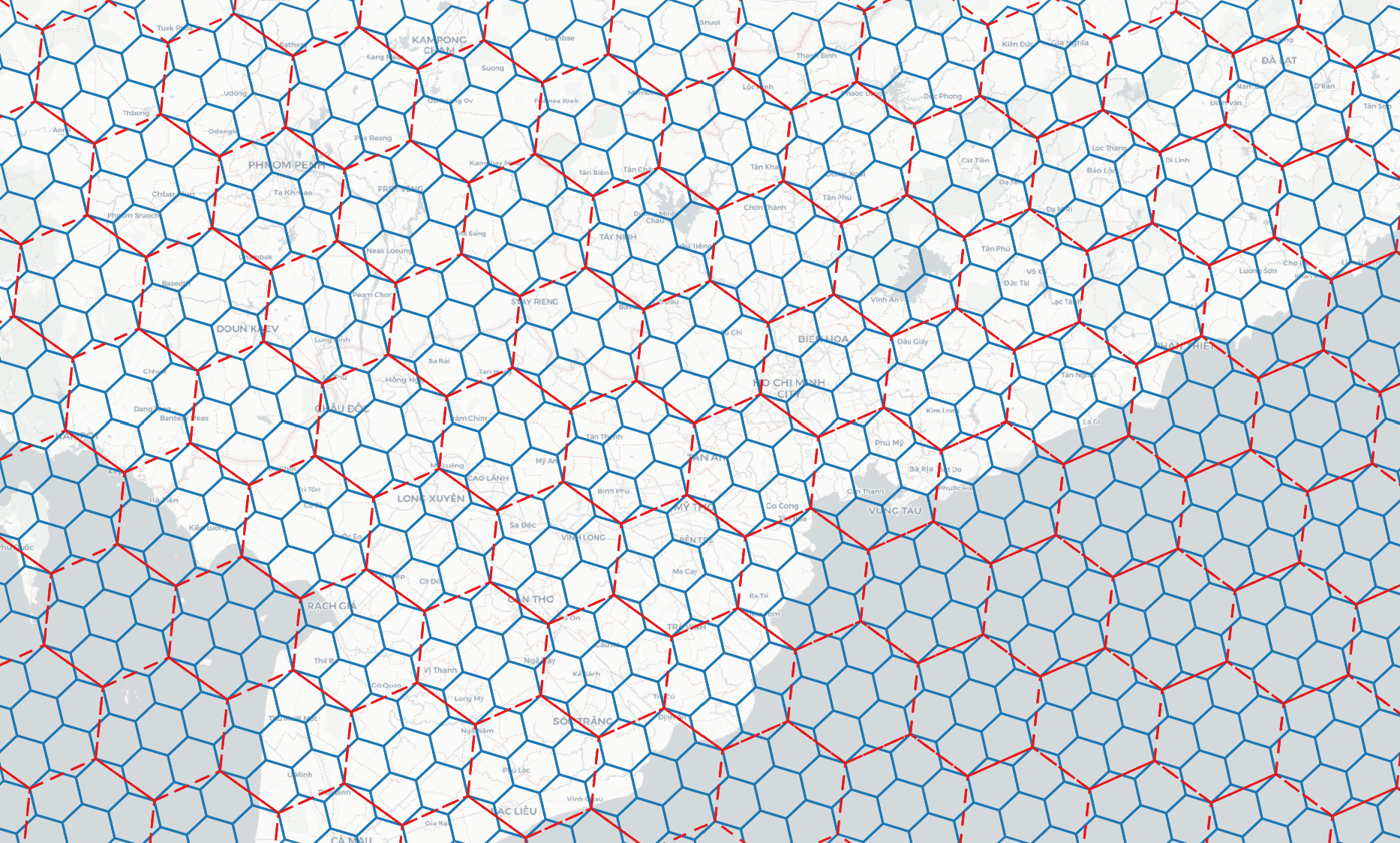
DGGS Resample: Resample a source DGGS layer to another DGGS type or resolution, with optional area-weighted or nearest-neighbour attribute transfer.
-
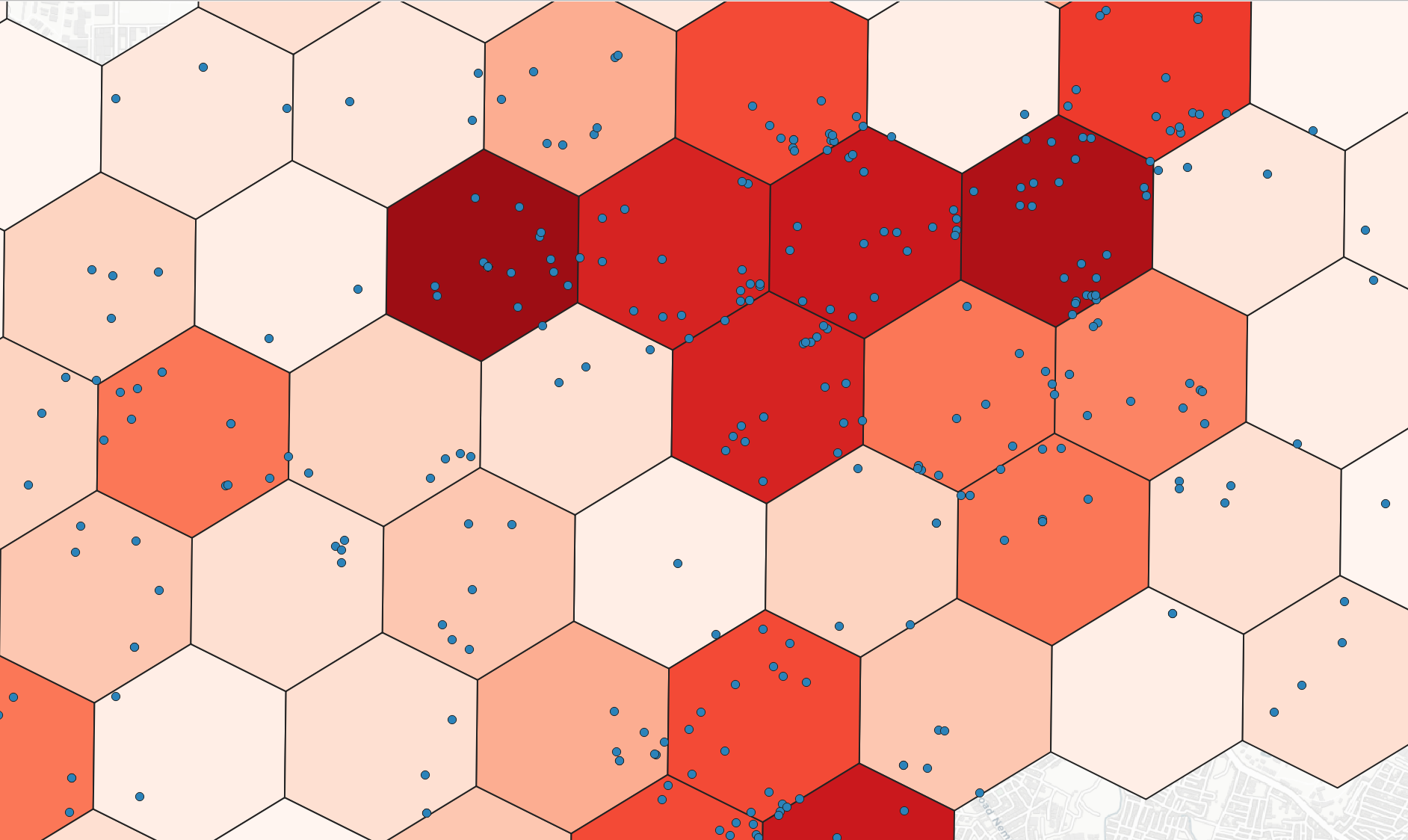
DGGS Binning: Aggregate points into DGGS cells, supporting common statistics (count, min, max, etc.) and category-based groups.
-
DGGS Generator: Generate DGGS at a specfic bounding box and resolution.
-
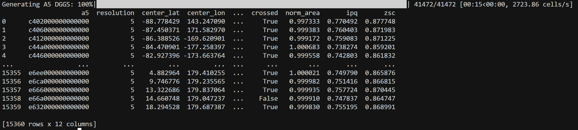
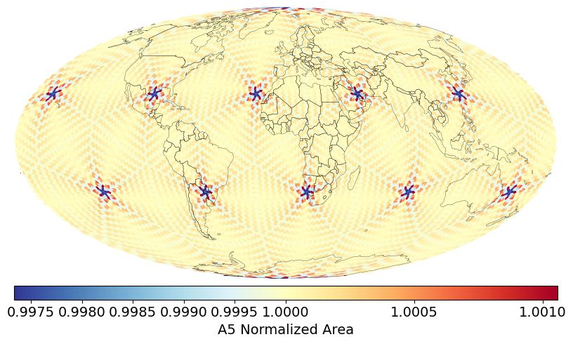
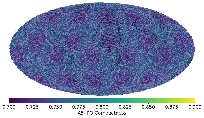
DGGS Inspect: Calculate and visualize DGGS area distortions and IPQ (isoperimetric inequality) compactness at a specific resolution.
-
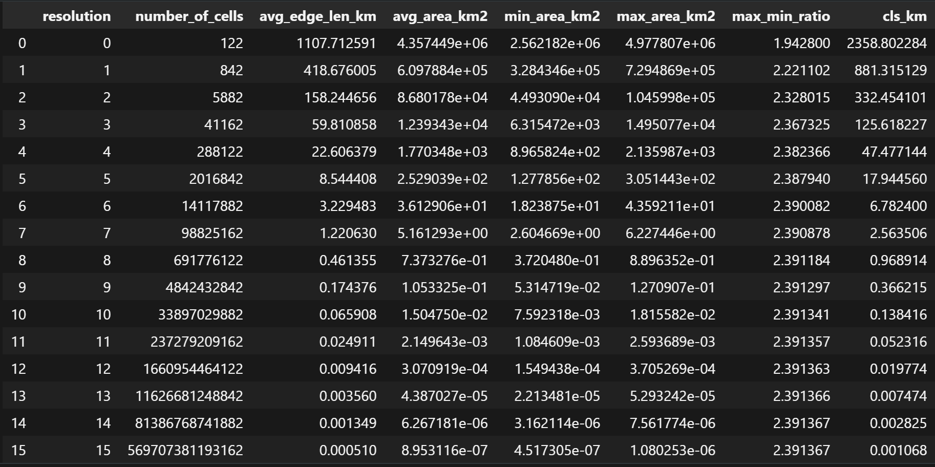
DGGS Stats: Show DGGS metrics for each resolution like number of cells, average edge length, average cell area, perimeter.
Usage examples
Latlon to DGGS
| from vgrid.conversion.latlon2dggs import latlon2h3
lat = 10.775276
lon = 106.706797
res = 10
h3_id = latlon2h3(lat, lon, res)
|
DGGS to Shapely Polygon
| import geopandas as gpd
from vgrid.conversion.dggs2geo.h32geo import h32geo
h3_geo = h32geo(h3_id)
|
DGGS to GeoJSON
| from vgrid.conversion.dggs2geo.h32geo import h32geojson
h3_geojson = h32geojson(h3_id)
|
Vector to DGGS
| from vgrid.conversion.vector2dggs.vector2isea4t import vector2isea4t
file_path = ("https://raw.githubusercontent.com/opengeoshub/vopendata/main/shape/polygon.geojson")
vector_to_isea4t = vector2isea4t(file_path, resolution=16, compact=False, predicate = "centroid_within", output_format="gpd")
|
DGGS Compact
| from vgrid.conversion.dggscompact.isea4tcompact import isea4tcompact
isea4t_compacted = isea4tcompact(vector_to_isea4t,output_format="gpd")
|
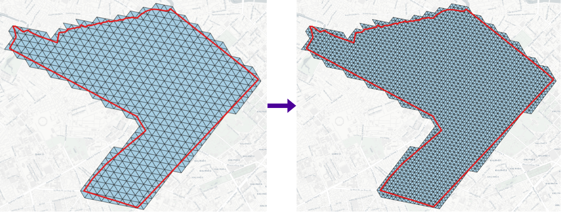
DGGS Expand
| from vgrid.conversion.dggscompact.isea4tcompact import isea4texpand
isea4t_expanded = isea4texpand(isea4t_compacted, resolution=17, output_format="gpd")
|
DGGS Resample
Resample a source DGGS layer to another DGGS type (or resolution): build a target grid over the source footprint, then optionally transfer a numeric attribute by area-weighted overlap (default) or nearest-neighbour assignment from source cells. Omit resolution or pass -1 to pick the target resolution that best matches mean source cell area.
1
2
3
4
5
6
7
8
9
10
11
12
13 | from vgrid.conversion.dggsresample.dggsresample import dggsresample
from vgrid.conversion.vector2dggs.vector2h3 import vector2h3
file_path = "https://raw.githubusercontent.com/opengeoshub/vopendata/main/shape/polygon.geojson"
h3_cells = vector2h3(file_path, resolution=10, output_format="gpd")
s2_resampled = dggsresample(
h3_cells,
dggs_from="h3",
dggs_to="s2",
resolution=15,
method="area_weighted",
output_format="gpd",
)
|
DGGS Binning
| from vgrid.binning.h3bin import h3bin
file_path = ("https://raw.githubusercontent.com/opengeoshub/vopendata/main/csv/dist1_pois.csv")
stats="count"
h3_bin = h3bin(file_path, resolution=10, stats=stats,
# numeric_col="confidence",
# category="category",
output_format="gpd")
|
Raster to DGGS
| from vgrid.conversion.raster2dggs.raster2h3 import raster2h3
from vgrid.utils.io import download_file
raster_url = ("https://raw.githubusercontent.com/opengeoshub/vopendata/main/raster/rgb.tif")
raster_file = download_file(raster_url)
raster_to_h3 = raster2h3(raster_file,output_format="gpd")
|
DGGS Generator
| from vgrid.generator.h3grid import h3grid
h3_grid = h3grid(resolution=0, output_format="gpd")
|
DGGS Inspect
| from vgrid.stats.a5stats import a5inspect
a5inspect()
|
Distribution of DGGS Area Distortions visualized from DGGS Inspect
Distribution of DGGS IPQ Compactness visualized from DGGS Inspect
DGGS Stats
| from vgrid.stats.h3stats import h3stats
h3stats()
|